Israeli Military Intelligence Develop ‘Google Street View’ For Combat
The Israeli Army’s Unit 9900, part of AMAN, Israeli Military Intelligence, and responsible for visual intelligence (VISINT), has developed highly classified mapping software which shows the latest intelligence on enemy dispositions according to an article in Forbes this week.
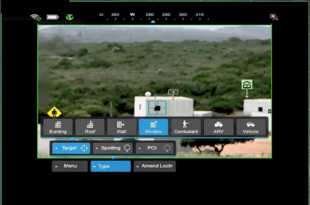
The unnamed Android-based software, designed to be used via a tablet or smartphone, uses 3D imaging to map the immediate battlefield and advise soldiers of the known locations of enemy forces and likely vulnerable points which may be occupied by the enemy, even in GPS denied environments. The AMAN system provides a fusion of intelligence from any number of sources – signals, human, even satellite-based – and is constantly updated.
Parsing the fusion of intelligence down to something that is actionable by the soldier on the ground required sophisticated pattern analysis by artificial intelligence (AI). An unnamed Israeli officer quoted in Forbes’ article noted the AI “… recognizes patterns of enemy behaviour – and can understand where the enemy is and what they’re planning.”
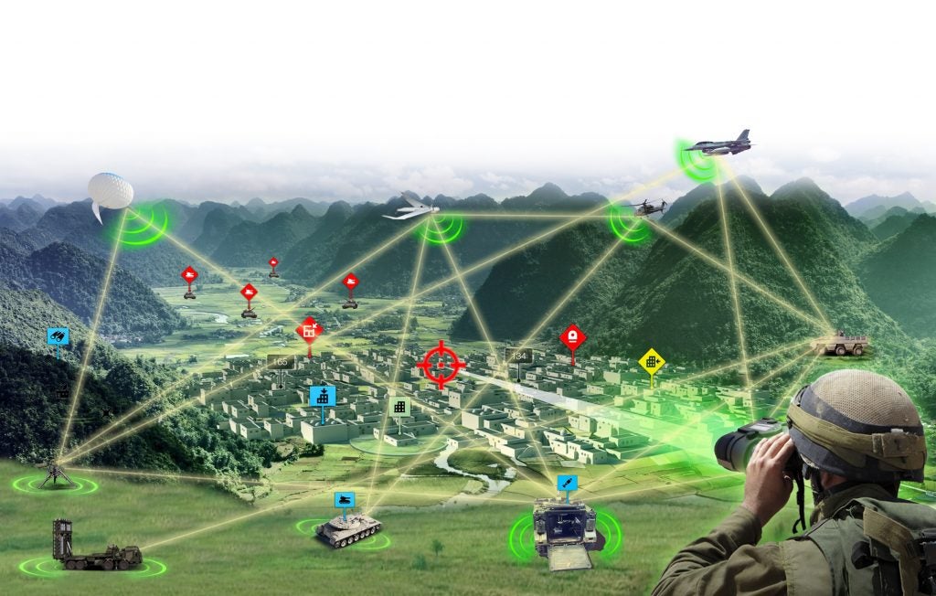
We have reported in the past on US programmes developing augmented reality software which would be displayed via goggles, electro-optical weapon sights or hybrid night vision devices. The Israeli system is similar in that it can be displayed on a tablet or through weapon sights. It is likely intimately related to a Rafael Advanced Defence Systems developed system known as Fire Weaver which takes the Blue Force Tracker concept and enhances it to allow real-time feeds from overhead assets.

Fire Weaver was described by an unnamed Israeli officer involved in its development as; “…a main milestone in the IDF’s battlefield digitisation effort. The innovative system essentially creates an ‘operational internet’ and brings to the battlefield the same innovation that the internet brought to the civilian world, the smart home and the smart cities. Fire Weaver enables operational connectivity between Joint forces and simplifies integration processes between naval, air and ground forces.”

